

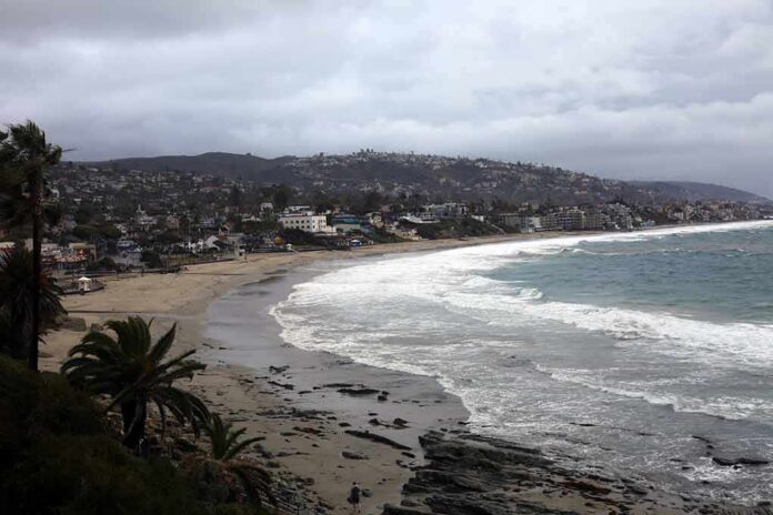
Federal forecasters say a powerful El Niño will likely soak California this winter, setting up a higher chance for deep Sierra snow but also a real risk that warmer storms push the snow line uphill.
Story Snapshot
- NOAA projects a wetter-than-average California winter during December to February.
- El Niño strength is forecast to stay strong through early spring 2027.
- Heavy snow is more likely at higher elevations; lower slopes face more rain.
- Resorts and mountain towns could see a business boost, but flooding risks rise.
What Forecasters Expect For California This Winter
The National Oceanic and Atmospheric Administration’s winter outlook points to wetter-than-average conditions across the southern United States, including California, from December 2026 through February 2027. The Climate Prediction Center also reports a strong to very strong El Niño likely through January to March 2027, which often steers more Pacific storms toward the state. These signals raise the odds of frequent storms. They do not guarantee exact local results for snow totals at each ski area.
Scientists describe El Niño as a pattern of warmer sea waters in the central and eastern Pacific that shifts the jet stream south. That shift commonly pushes more moisture into California during winter. The present El Niño is still strengthening and is expected to peak late this year or early next year, then slowly weaken into spring. The timing covers the core ski season window, which boosts chances for repeated storm cycles that can build a deep base in the Sierra.
Why More Storms Do Not Always Mean More Ski Days
Snowfall depends on both moisture and temperature. At higher elevations, strong and moderate El Niño winters have tended to bring more total snowfall. At lower elevations, warmer air can turn potential snow into rain, cutting totals and hurting coverage. Past strong El Niño winters brought huge Sierra snow, including 1982–83 and 1997–98 at Donner Summit, but not every location shared the same gains. Elevation, storm track, and the snow line will sort winners from losers.
Atmospheric rivers add another twist. These narrow plumes carry large amounts of water and can fuel epic dumps. They also run warm, which lifts snow levels during many events. Research shows these storms produce higher snow lines yet still deliver a large share of the seasonal snow at upper elevations. If multiple atmospheric rivers hit this winter, high peaks could pile up feet of snow fast, while foothill resorts could see more rain than they want. Planning must account for both outcomes.
What It Means For Ski Towns, Travel, And Safety
California’s ski industry supports tens of thousands of jobs and over a billion dollars in value in a normal year. Strong winters draw more visits and spending across mountain towns, while weak winters shave visits and revenue. A wetter El Niño pattern could lift business at higher resorts if storms are cold enough. It could also snarl roads, trigger chain controls, and raise avalanche danger after big cycles. Visitors should expect frequent travel delays and shifting opening dates.
Communities downhill face trade-offs. More water can ease drought and boost reservoirs. It can also bring flooding, mudslides, and infrastructure strain when back-to-back storms stack up. State and local crews will watch river basins and burn scars closely. Ski areas will lean on snowmaking during warm breaks, then switch to storm operations during big cycles. Clear communication about snow levels and road conditions will matter as much as the snowfall totals themselves.
How To Read The Forecast In The Weeks Ahead
Daily storm details will matter more than seasonal slogans. Look for three things before each trip: freezing level, expected atmospheric river strength, and wind. A lower freezing level means more snow at mid-mountain and base. A warmer, stronger plume favors rain except at the highest peaks. Strong winds can close lifts even during heavy snow. The broad El Niño signal sets the table, but week-to-week choices will decide whether skiers find powder or slush.
Sources:
nypost.com, cpc.ncep.noaa.gov, usatoday.com, usgs.gov, sfchronicle.com, mercedsunstar.com
© newsworthy.news 2026. All rights reserved.